ACTRIS-Spain coordinating unprecedented actions for the Cumbre Vieja volcanic emergency
Published: 17, December, 2021

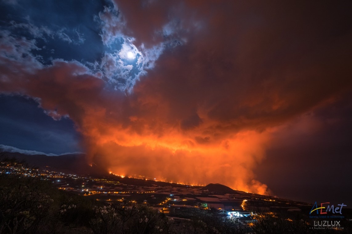
Since the beginning of the eruption of the Cumbre Vieja volcano in La Palma Island on September 19th (Figure 1), a coordinated observational strategy and scientific collaboration have been established among different groups belonging to the ACTRIS-Spain Research Infrastructure. The goal of this collaborative effort was to establish an operational observation system that allows us addressing different aspects of public health and civil aviation protection. This is also an extraordinary opportunity to research the impact of the volcanic eruption on the atmosphere.

Since the beginning of the eruption of the Cumbre Vieja volcano in La Palma Island on September 19th (Figure 1), a coordinated observational strategy and scientific collaboration have been established among different groups belonging to the ACTRIS-Spain Research Infrastructure. The goal of this collaborative effort was to establish an operational observation system that allows us addressing different aspects of public health and civil aviation protection. This is also an extraordinary opportunity to research the impact of the volcanic eruption on the atmosphere.
This rapid scientific collaboration was carried out among some of the research groups that make up ACTRIS-Spain: the Optical Remote Sensing CommSensLab group, from the Department of Signal Theory and Communications of the Universitat Politècnica de Catalunya (UPC), the Atmospheric Optics group from the Universidad de Valladolid (UVa), the University of Granada (UGR), the Area of Research and Atmospheric Instrumentation from the National Institute of Aerospace Technique (INTA), and the Izaña Atmospheric Research Center, belonging to the State Meteorological Agency of Spain (AEMET) and the Spanish National Research Council (CSIC). ACTRIS-Italy’s University of L’Aquila and other institutions and private companies have also strongly supported the volcanic emergency, such as Vaisala (Finland) (see Figure 2 for more details).
Six stations were strategically deployed in record time around the Cumbre Vieja volcano in order to track the volcanic cloud as well as to provide air quality information at the ground (see the map in Figure 2). Five of these six stations have been equipped with a cloud/aerosol profiler (see Figure 3).


Data from this ad-hoc emergency network are provided in real-time to the Canary Islands Volcanic Emergency Plan (PEVOLCA) and has been ingested in EUMETNET e-Profile network, which supports the VAAC (Volcanic Ash Advisory Center) at Toulouse, and Copernicus. This information can be used to validate satellite products and chemical transport models, improving their predictions on the chemical composition of the atmosphere and the location/altitude of the volcanic cloud, which are key aspects to protect public health and civil aviation. A detailed example of the vertical evolution of the volcanic plume is presented in Figure 4. In this case, the volcanic aerosols reached 5 km height, affecting the surface level as an ash deposition event.

This unprecedented scientific response would not have been possible without the existence of ACTRIS as an existing research infrastructure, serving as the driver of instruments, methodologies and common procedures. The rapid implementation of this emergency network has shown its enormous utility in strategic sectors such as public health and civil aviation.
This scientific experience shows that ACTRIS is not only a European infrastructure for atmospheric research but also a very useful tool to provide immediate information to help citizens and decision-makers in these types of emergencies when resources from a single institution are generally not sufficient.