National Facilities


Between 13 and 30 September of 2021 the RITA-2021 intensive measurement campaign took place at and around the Cabauw observatory. The acronym RITA-2021 stands for “Ruisdael Land-Atmosphere Interactions Intensive Trace-gas and Aerosol measurement campaign – Nitrogen and Aerosol Budget Closure experiment” and it involved all partners of the Dutch Ruisdael consortium. Besides the stationary measurement activities at Cabauw the campaign included two additional mobile measurement platforms, being a fully equipped TNO measurement truck for in-situ observations of a suit of trace gases and aerosol characteristics, and the SkyArrow research aircraft (PH-WUR) carrying measurement instrument for air sampling and in-situ greenhouse gas observations. The combined observations of the stationairy Cabauw site and the mobile platforms on the ground and in the air provide a unique opportunity for regional 3D source mapping of GHGs and pollutant trace gas species. The main objective of the RITA-2021 campaign was to improve our understanding of boundary-layer dynamics and cloud formation, the nitrogen budget, and fluxes of GHGs in the ~30x30 km Cabauw footprint combining stationary and mobile observations and 3 different versions of the high resolution Dutch Atmospheric Large-Eddy Simulation model (DALES).
The main campaign activities included:
• The ammonia flux measurement intercomparison experiment at Cabauw involving 3 different novel flux measurement devices.
• SkyArrow CO2-flux and in-situ CO2, CH4, N2O, and water vapor observations in the boundary layer and vertical profiles over Cabauw.
• The TNO measurement truck for regional source mapping of GHGs and pollutant trace gas species.
• The Convective Momentum Transport (CMT) experiment at Cabauw using intensified CMTRACE observations (WindCube, Dual-Freq cloud radar (CLARA), mobile cloud radar (MARA)) to provide observational evidence of CMT.
• The aerosol optical column and budget closure experiment combining LIDAR observations, aerosol pre-cursor and composition measurements and detailed meteo at Cabauw.
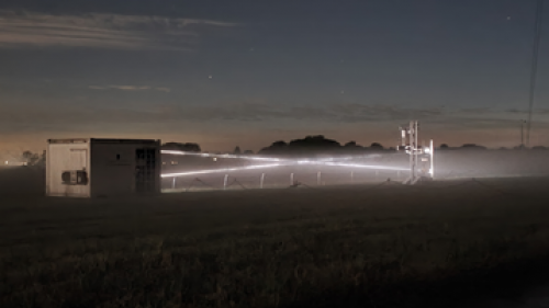
The following images represent impressions of the RITA-2021 campaign:


On September the 26th the La Palma vulcanic dust plume was detected over Cabauw at an altitude between 5 and 6 km high by the Caeli Raman lidar system stationed at Cabauw (Fig. 5 by courtesy of Arnoud Apituley, KNMI). The Caeli system provides continuous day and night high temporal and spatial resolution profiles of aerosol and humidity. Data are available online.


Between September 1 and 30 a total of 34 radiosondes were launched at the KNMI (at 12 and 24 hours) providing vertical profiles of wind direction and wind speed. Even though the KNMI (De Bilt) is 23 km away from the experimental site Cabauw we find that wind speed and direction profiles from radar and lidar system at Cabauw are very comparable to the radiosonde results (Fig.data by courtesy of Louise Nuijnes (TUD), and Arnoud Apituley (KNMI)).


