
National Facilities


20
Mar
2025
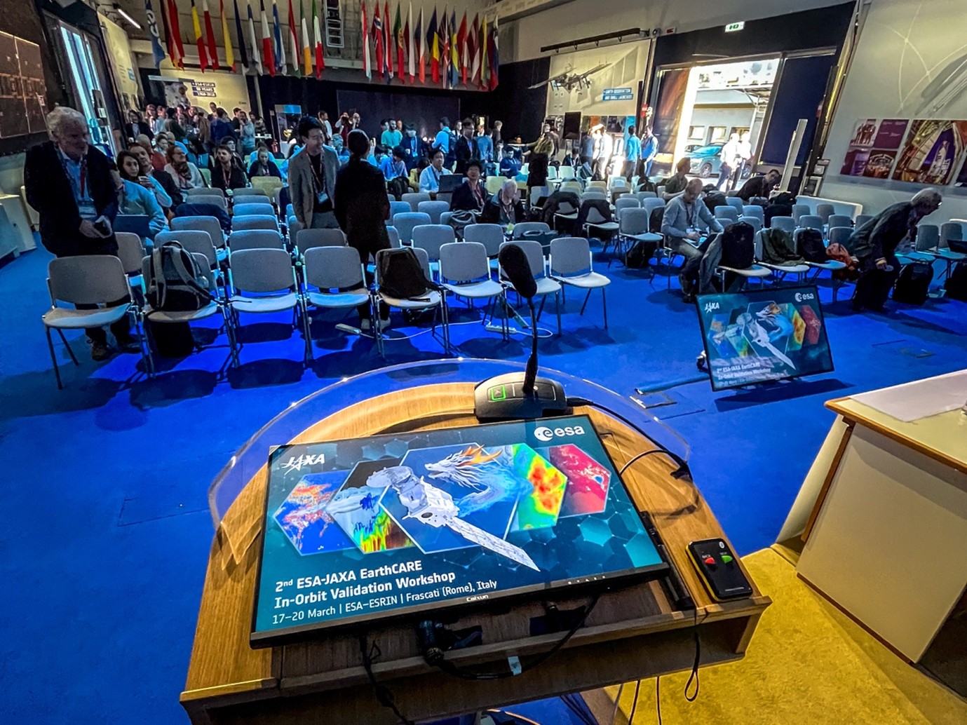
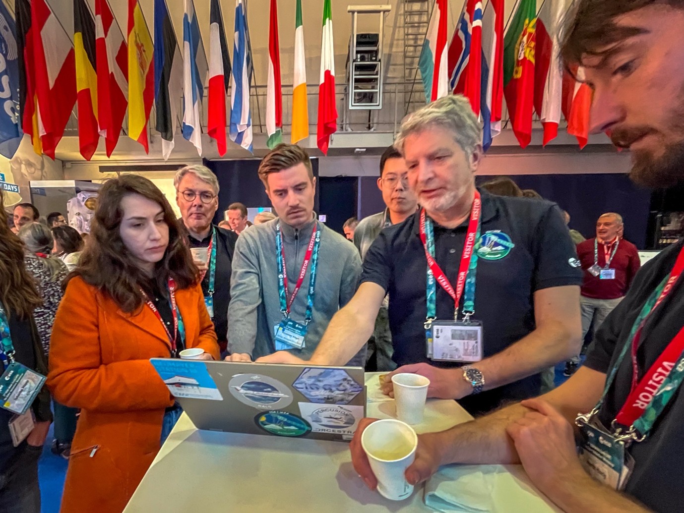
EarthCARE’s data products are now fully available, offering users more precise and detailed atmospheric profiling data. An international team from Europe, Japan, US, and other areas in the world joined in Frascati, Italy, to discuss the performance of the satellite data. They were all enthusiastic.
Using data from ground-based instruments as well as airborne campaigns, the cloud and aerosol profiles from EarthCARE were closely studied. The ACTRIS contribution to the calibration and validation efforts are substantial. Based on the experience ACTRIS built-up for the validation of NASA-CNES/CALIPSO and ESA/ADM-Aeolus, the ACTRIS stations for aerosol remote sensing and cloud remote sensing act as one ‘ground-based instrument’ providing data of homogeneous quality for the validation. The ACTRIS effort is supported by ATMO-ACCESS Trans National Access.
During the workshop, more than 20 ACTRIS researchers presented results focussed at specific stations, but also combined multiple stations in order to work towards statistics of the validation for various parameters of aerosols and clouds.
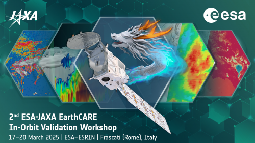
Launched on 28 May 2024, ESA’s Earth Cloud, Aerosol, and Radiation Explorer (EarthCARE) mission is the largest and most complex Earth Explorer to date. With its four instruments — a Cloud Profiling Radar (CPR), an Atmospheric UV Lidar (ATLID), a Broadband Radiometer (BBR), and a Multispectral Imager (MSI) — EarthCARE makes a variety of measurements that, when taken together, provide unique insights into the complex interactions between clouds, aerosols and radiation.
Most satellite missions can only capture horizontal images, essentially observing clouds from above, like a camera in space. EarthCARE, however, is unique in its ability to profile clouds and aerosols horizontally and vertically from space complementary to the ground-based observations of ACTRIS. It provides an additional side view and thus delivers precise measurements of clouds’ height and structure. This allows researchers to classify targets such as liquid and ice clouds, smoke and dust storms, while also determining their 3D structure. This capability is critical for understanding the role of clouds in the climate system, as well as the air-quality implications of events like wildfires and dust storms.
A closer look at the atmosphere
During the workshop, first level 2 products of EarthCARE were released to the public. The unique configuration of instruments on board of the EarthCARE satellite enable two types of data products: so-called Level-2a single-sensor products derived from individual instruments on EarthCARE, and Level-2b combined products derived from two EarthCARE instruments as also aimed for ACTRIS cloud and aerosol profiling facilities. By using the synergy between instruments like radar and lidar, the Level-2b products offer greater accuracy and detail than single-instrument outputs.
With the climate crisis accelerating and extreme weather events becoming more frequent, improving weather forecasts and climate projections is more urgent than ever. EarthCARE helps to tackle key uncertainties in climate modeling, such as how clouds will evolve in a warming world and the climate effects of aerosols.
ESA states: “Together with our partners at JAXA, we are pleased to release these products and look forward to the new scientific insights they will unlock”.
For more informations:
https://earth.esa.int/eogateway/news/level-2-data-boost-earthcare-s-profiling-power
https://earth.esa.int/eogateway/missions/earthcare
https://www.satnavi.jaxa.jp/en/news/2025/03/17/10746/index.html